02 - 03 AUGUST 1997 - OVERVIEW OF SATELLITE IMAGERY FOR 03 AUGUST 00.00 UTC

by ZAMG


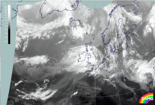
03 August 1997/00.00 UTC - Meteosat IR image
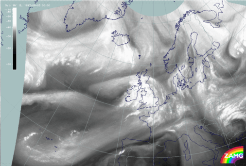
03 August 1997/00.00 UTC - Meteosat WV image
The cloud configurations six hours later can be seen in the IR (left image) and WV images (right image). Generally speaking there is still no dramatic change in the cloud features. The Warm Front Shield has moved eastward over the British Isles, the leading cloud edge of the Upper Level Low is located over Ireland and the dry Upper Level Low centre just west of Ireland.

SUB-MENU OF 02 - 03 AUGUST 1997
DEVELOPMENT OF CLOUD CONFIGURATIONS DURING VERY SHORT RANGE FORECAST
KEY PARAMETERS ON ISOBARIC SURFACES FOR 03 AUGUST 00.00 UTC