15 - 16 MARCH 1998 - 15.00 - 18.00 UTC - OVERVIEW OF SATELLITE IMAGERY
by ZAMG
|
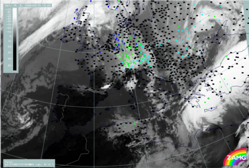
15 March 1998/15.00 UTC - Meteosat IR image; weather events (green: rain and showers, blue: drizzle, cyan: snow, red: thunderstorm with
precipitation, purple: freezing rain, orange: hail, black: no actual precipitation or thunderstorm with precipitation)
|
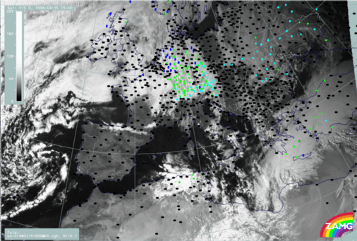
15 March 1998/15.00 UTC - Meteosat VIS image; weather events (green: rain and showers, blue: drizzle, cyan: snow, red: thunderstorm with
precipitation, purple: freezing rain, orange: hail, black: no actual precipitation or thunderstorm with precipitation)
|
|
|
|
|
|
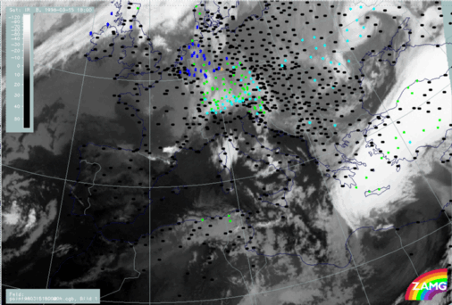
15 March 1998/18.00 UTC - Meteosat IR image; weather events (green: rain and showers, blue: drizzle, cyan: snow, red: thunderstorm with
precipitation, purple: freezing rain, orange: hail, black: no actual precipitation or thunderstorm with precipitation)
|
- It is possible that the low frontal cloudiness intensifies, an idea which is supported by the development of a low level circulation cell, as was already seen and described in the vertical cross sections for 12.00 UTC;
- It is also possible that the bright dense Warm Front cloud band moves across the rather stationary low cloudiness of the northern band, which consequently becomes more and more visible.
|
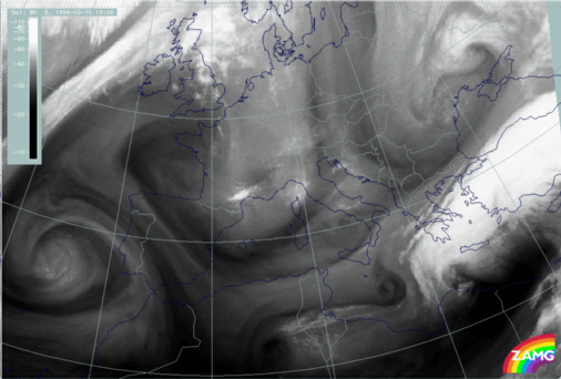
15 March 1998/15.00 UTC - Meteosat WV image
|
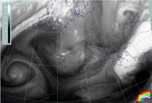
15 March 1998/18.00 UTC - Meteosat WV image
|
|
|


