19 FEBRUARY 1997 - VERIFICATION OF VERY SHORT RANGE FORECAST

by ZAMG


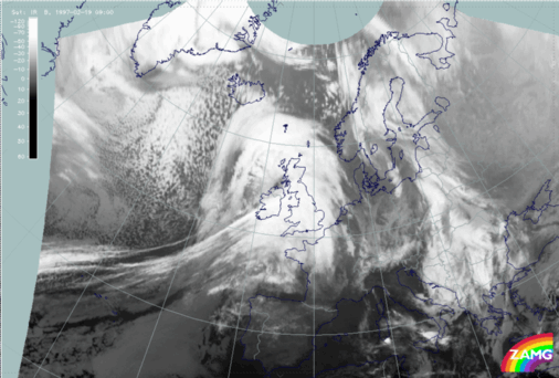
19 February 1997/09.00 UTC - Meteosat IR image
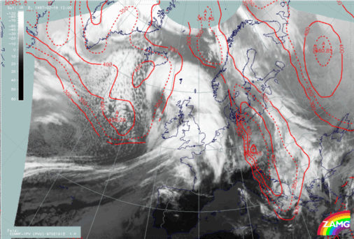
19 February 1997/12.00 UTC - Meteosat IR image; red: height of PV = 2 units
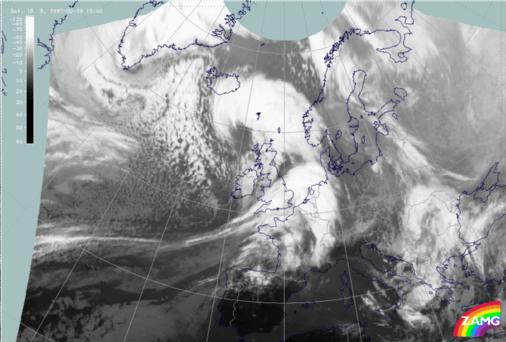
19 February 1997/15.00 UTC - Meteosat IR image
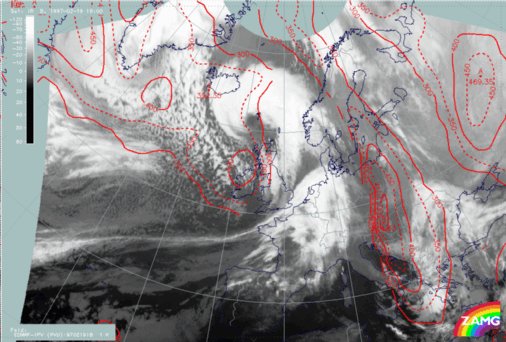
19 February 1997/18.00 UTC - Meteosat IR image; red: height of PV = 2 units
The three-hourly sequence of IR images shows very impressively the development of an Occlusion cloud spiral in the area of the Rapid Cyclogenesis, and the development of a Comma cloud feature at the rear side of the frontal cloud band which crosses Ireland and moves towards England.

SUB-MENU OF 19 FEBRUARY 1997
VERY SHORT RANGE FORECAST FOR THE RAPID CYCLOGENESIS AND THE COMMA FEATURE