02 - 03 JUNE 2000 - WEATHER
by ZAMG
Jet streak and Vorticity Advection
|
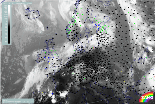
02 June 2000/18.00 UTC - Meteosat IR image; weather events (green: rain and showers, blue: drizzle, cyan: snow, purple: freezing rain, red:
thunderstorm with precipitation, orange: hail, black: no actual precipitation or thunderstorm with precipitation)
|
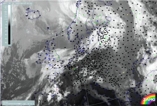
03 June 2000/00.00 UTC - Meteosat IR image; weather events (green: rain and showers, blue: drizzle, cyan: snow, purple: freezing rain, red:
thunderstorm with precipitation, orange: hail, black: no actual precipitation or thunderstorm with precipitation)
|
|
|
|
|
|
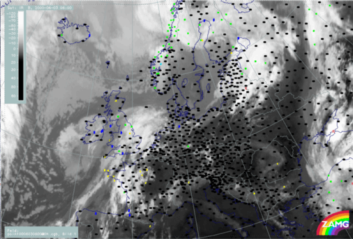
03 June 2000/06.00 UTC - Meteosat IR image; weather events (green: rain and showers, blue: drizzle, cyan: snow, purple: freezing rain, red:
thunderstorm with precipitation, orange: hail, black: no actual precipitation or thunderstorm with precipitation)
|
As a result of the dissipation of frontal clouds over Denmark at 00.00 UTC there are no more reports of precipitation over this region. By 06.00 UTC, the Front Decay is clearly seen, however there are only a few surface reports in this mainly maritime region.

