Upper Level Low - Key Parameters
by ZAMG and FMI
- Height contours 500 hPa:
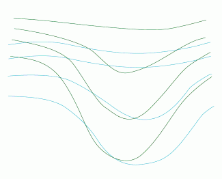
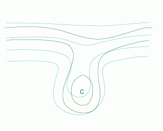
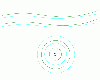
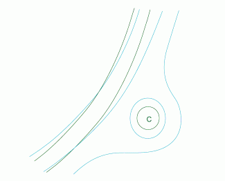
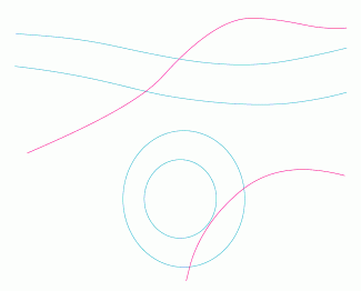
In the initial stage there is an upper trough. The bottom of the trough forms an inverse omega shape and is detached from the main stream forming a separate low. In the final stage the low weakens and merges with another trough or low. - Temperature 500 hPa:
The air within the Upper Level Low is colder than in the surroundings. The isotherms shows a life cycle similar to that of the geopotential. - Height contours 1000 hPa:
Usually loose field with no remarkable features. In some cases some weak cyclonic circulation may appear. - Equivalent thickness:
There is a thickness ridge ahead of the low and a trough or a distinct minimum behind or in the centre of the low. - Thermal front parameter:
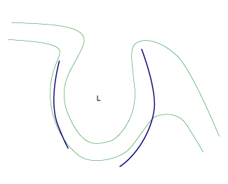
There are two baroclinic zones:- A frontal-like cloud band ahead of the low
- A Baroclinic Boundary (see Baroclinic Boundary ) behind the low.
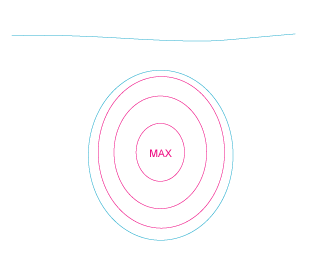
- Potential vorticity:
Within the Upper Level Low there is colder air with lower tropopause than in its surroundings. Consequently, in the area of the low there is a local maximum of PV.
Height contours and temperature 500 hPa
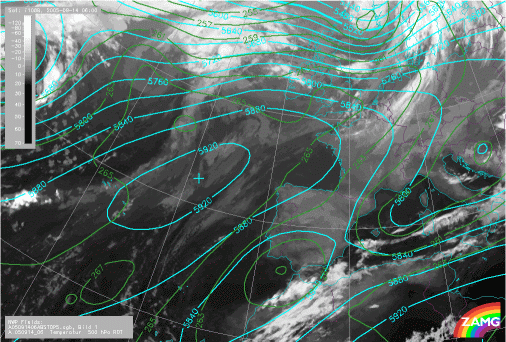
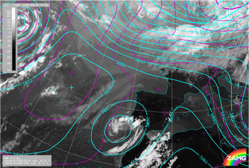
1. Trough stage
|
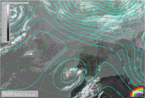
14 September 2005/06.00 UTC - Meteosat 8 IR 10.8 image; cyan: height contours 500 hPa, dark green: temperature 500 hPa
|
|
|
|
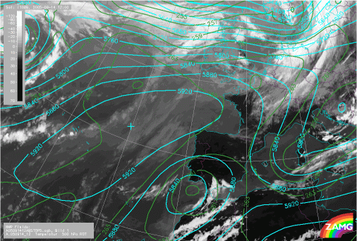
2. Tear-off stage
|
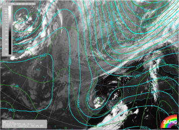
14 September 2005/12.00 UTC - Meteosat 8 IR 10.8 image; cyan: height contours 500 hPa, dark green: temperature 500 hPa
|
|
|
|
3. Cut-off stage
|
15 September 2005/12.00 UTC - Meteosat 8 IR 10.8 image; cyan: height contours 500 hPa, dark green: temperature 500 hPa
|
|
|
|
4. Final stage
|
16 September 2005/12.00 UTC - Meteosat 8 IR 10.8 image; cyan: height contours 500 hPa, dark green: temperature 500 hPa
|
|
|
|
Height countours at 1000 hPa
|
15 September 2005/12.00 UTC - Meteosat 8 IR 10.8 image; magenta: height contours 500 hPa, cyan: height contours 1000 hPa
|
|
|
|
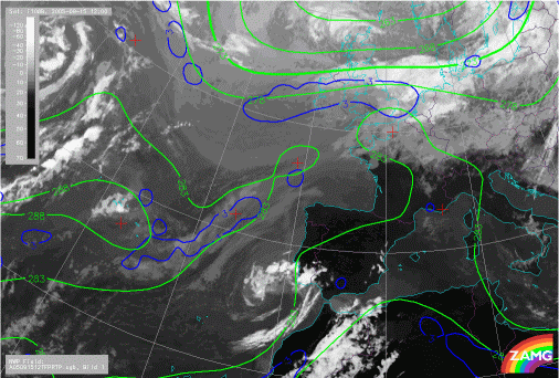
Equivalent thickness and thermal frontal parameter
|
15 September 2005/12.00 UTC - Meteosat 8 IR 10.8 image; green: equivalent thickness, blue: thermal frontal parameter
|
|
|
|
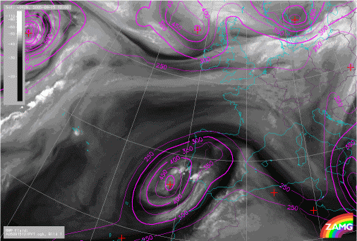
Potential vorticity
|
15 September 2005/12.00 UTC - Meteosat 8 WV 6.2 image; magenta: height of PV=1 unit
|
|
|
|


