Convergence Cloudiness - Cloud Structure In Satellite Images
by ZAMG
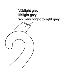
- IR10.8: often a little bit warmer cloud tops than those associated with the Occlusion cloud, therefore light grey in the IR image, sometimes fibrous and broken
- VIS0.8: light grey
- WV6.2: varying from very bright to light grey
- Airmass RGB: High reaching and a little darker clouds than the associated Occlusion cloud band.
|
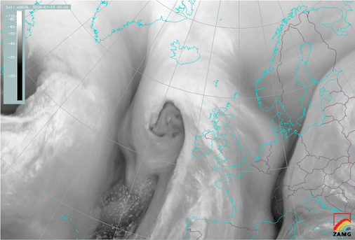
15 January 2009/00.00 UTC - Meteosat 9 IR10.8 image
|
15 January 2009/00.00 UTC - Meteosat 9 IR10.8 image
|
|
|
|
|
|
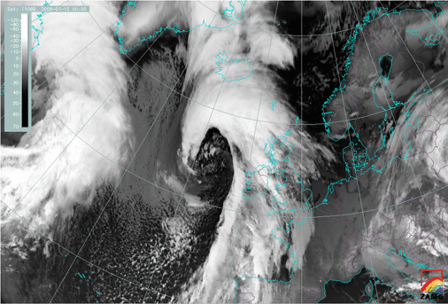
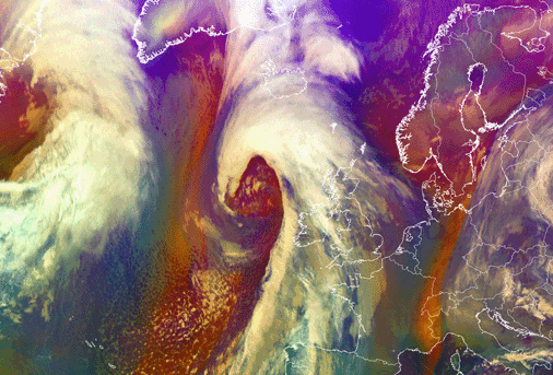
15 January 2009/00.00 UTC - Meteosat 9 Airmass RGB image
|
|
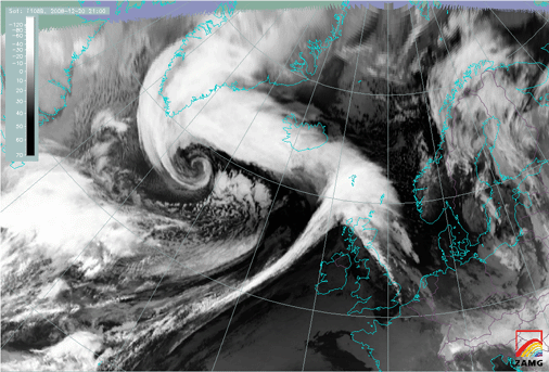
20 December 2008/21.00 UTC - Meteosat 9 IR10.8 image
|
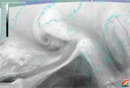
20 December 2008/21.00 UTC - Meteosat 9 WV6.2 image
|
|
|
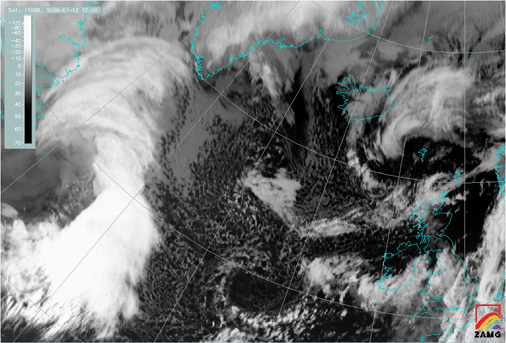
12 January 2009/12.00 UTC - Meteosat 9 IR10.8 image