Cold Air Development - Cloud Structure In Satellite Images
by ZAMG and KNMI
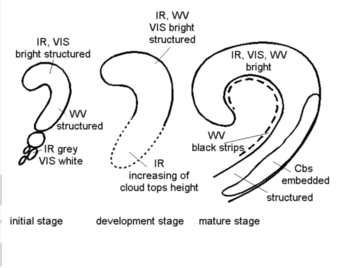
- The satellite image shows in the initial stage a cyclonically curved Comma feature (see Comma ) which is situated within the cold air mass behind a Cold Front; during the further development the Comma increases in size until in the mature stage a synoptic scale spiral is reached.
- In general the cloud spiral in the IR and VIS images has a white and structured appearance indicating multi-level cloudiness with embedded Cbs (see Meteorological physical background and Weather events ).
- In the initial stage a southward continuation of the Comma Tail can be observed in the form of more or less continuous cloud patches in the lower level cloudiness.
- The WV image is characterized by grey to white pixel values according to the appearance in the IR image. On the rear side of the Comma structure the WV image is characterized by a sharp gradient and a black stripe indicating dry air.
- The RGB-airmassair mass image (meteosat 9) is characterized by white pixel values over the comma cloud according to the appearance in the IR image. On the rear side of and over the Comma structure the RGB image is characterized by a sharp gradient and a red stripe indicating dry air intrusion. Furthermore the strong baroclinic band can be recognised in the green colours along the warm side and blue/red along the cold side of CAD.
- Especially in the initial stages of development the brightest grey shades can be observed within the Comma tail, which is situated within the area of the left exit region of a jet streak (see Front Intensification By Jet Crossing ).
|
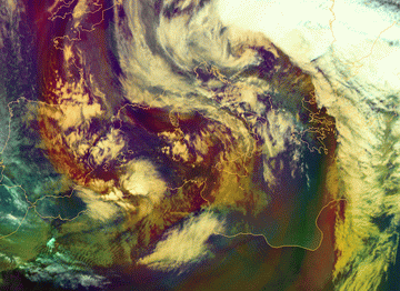
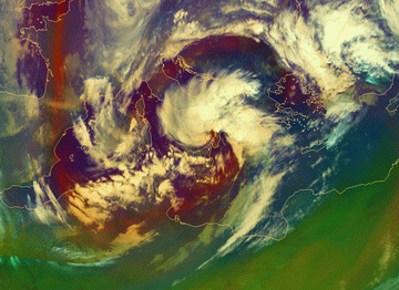
05 March 2009/12.00 UTC Meteosat 9 Airmass RGB image
|
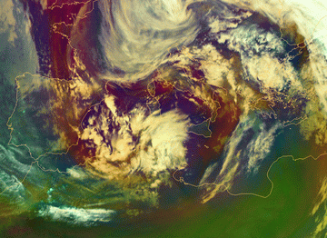
05 March 2009/18.00 UTC Meteosat 9 Airmass RGB image
|
|
|
|
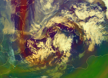
06 March 2009/00.00 UTC - Meteosat 9 Airmass RGB image
|
06 March 2009/06.00 UTC - Meteosat 9 Airmass RGB image
|
|
|
|
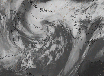
06 March 2009/12.00 UTC - Meteosat 9 HIRES image
|
06 March 2009/12.00 UTC - Meteosat 9 IR10.8 image
|

|
|
|
|
|
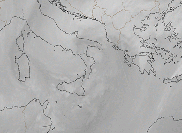
06 March 2009/12.00 UTC - Meteosat 9 WV0.6 image
|

