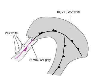
BACK-BENT OCCLUSION - CLOUD STRUCTURE IN SATELLITE IMAGES
by FMI
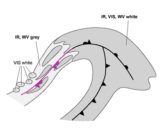
In the initial stage there is a quite straight or only slightly cyclonically curved occluded front. The movement of the occluded front stops, and after that the whole front or a part of it begins to move backwards. In most cases the occluded front is bent back by a cold advection originating from another low (usually Upper Level Low; see Upper Level Low ) in a polar airmass.
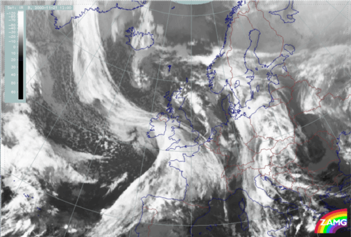
On the 21st of November 2000 at 12.00 UTC, there is a long, broad occluded front over the Atlantic and an upper level low over England and Scotland:
|
21 November 2000/12.00 UTC - Meteosat IR image
|
|
|
|

|
|
|
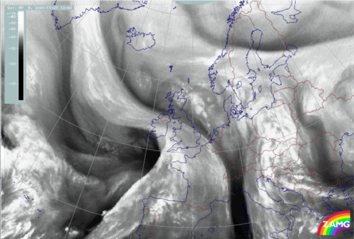
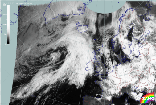
21 November 2000/12.00 UTC - Meteosat VIS image
|
21 November 2000/12.00 UTC - Meteosat WV image
|
|
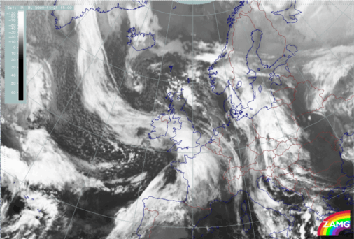
21 November 2000/09.00 UTC - Meteosat IR image
|
21 November 2000/15.00 UTC - Meteosat IR image
|

|
|
|
|
|
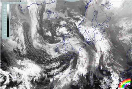
21 November 2000/21.00 - Meteosat IR image
|
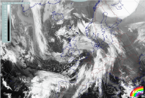
22 November 2000/03.00 UTC - Meteosat IR image
|
|
18 June 2001/09.00 UTC - Meteosat IR image
|
|
|

|
|
|
|
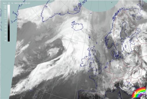
18 June 2001/09.00 UTC - Meteosat VIS image
|
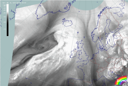
18 June 2001/09.00 UTC - Meteosat WV image
|
|
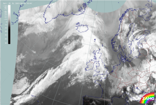
18 June 2001/09.00 UTC - Meteosat IR image
|
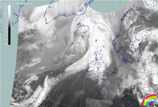
18 June 2001/18.00 UTC - Meteosat IR image
|
|
|
|
|
|
19 June 2001/06.00 - Meteosat IR image
|

