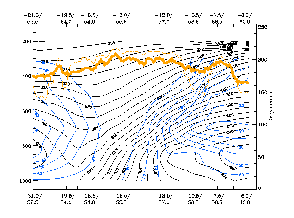
Relative Humidity:
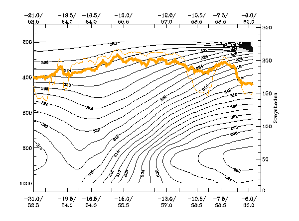
The isentropes show very clearly the upward inclined frontal zone. In the case of a Warm Front Shield a double structure of these zones is expected. This is not observed in this example and - as already mentioned in the chapter of key parameters - the case seems to be more of the transition from Warm Front Band to Warm Front Shield, rather than a well developed Warm Front Shield itself. The relative humidity has high values in the area of the cloudiness above the frontal surface. In this parameter field also, a double structure cannot be easily detected.
Temperature Advection:
There is very pronounced WA within the frontal zone. Some indications of a higher secondary WA maximum can be observed at
very high levels. So the criteria for a Warm Front are fulfilled very well but the distribution of this parameter does not
manifest clearly the conceptual model of a Warm Front Shield type.
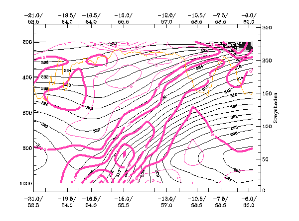
Divergence:
There is a very distinct zone of convergence within the frontal zone, and divergence above it. This is a very typical configuration. But - as was mentioned with other parameters - the distribution of convergence does not exhibit any distinct double structure, which would be expected for a well developed Warm Front Shield.
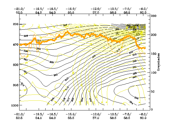
Isotachs:
There is a Jet streak with a core at very high levels (even higher than 200 hPa) at the leading edge of the Warm Front
cloud. This corresponds very well with the ideal description of a Warm Front and it explains also the fact, that the
zeroline of shear vorticity (compare with the relevant keyparameters) at 300 hPa is not at but within the frontal cloud
band.