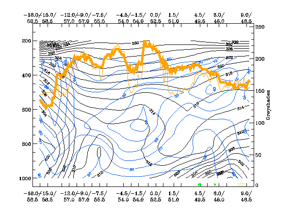
Relative Humidity:
The isentrops show a very steep downward inclined Cold Front to the left of the diagram as well as unstable areas ahead of this front. Whilst this is very similar to the expected distribution in such a conceptual model, this is a late autumn case and therefore instability does not have the same intensity as late Spring or Summer.
Relative humidity deviates from the ideal configuration as there are high values only in the lowest layer and at high levels. In between, the tropopshere in the area of the Thickness Ridge Cloud is rather dry. This is more common for stable winter cases and contradicts somewhat the cloud configuation and the instability.
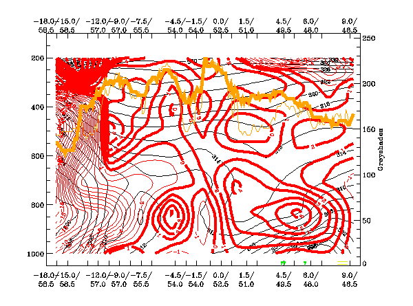
Temperature Advection:
TA shows many of the typical features observed in an ideal case: for instance the WA above the Cold Front surface, the CA within and below the Cold Front surface and WA in the area ahead of the Cold Front.
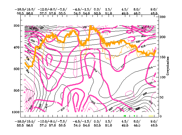
Divergence:
There are several areas of convergence: one is above the frontal cloud band and, as such, is in agreement with the classical conceptual model. Ahead of the front there are two convergence maxima in the area of the Thickness Ridge cloudiness; one at low, the other at middle levels. This is reasonably in accordance with the ideal configuration although, in an unstable case, convergence can be found more in lower layers. The one convergence maximum at middle levels might indicate the presence of high cloud in this special case.
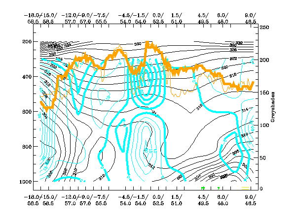
Vertical Motion (Omega):
The vertical motion parameter reflects the convergence field very well and shows maxima of upward motion at low, as well as middle layers. Even if this different vertical distribution of maxima of convergence, and corresponding upward motion, is a speciality of this case, the requirement for intensive upward motion is fulfilled in this case.