Using the parameter Temperature Advection, where can you now identify a Cold Front in Warm Advection in the satellite
image? Click on the area of the Cold Front in Warm Advection.
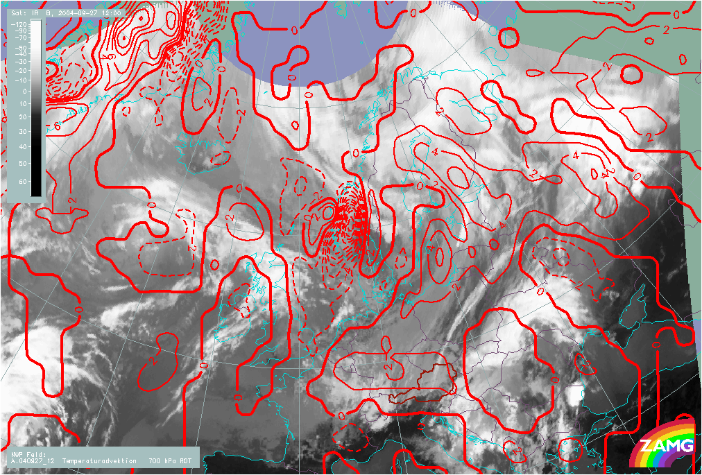
27 September 2004/12.00 UTC - Meteosat IR image; red solid: temperature advection - WA 700 hPa, red dashed: temperature advection - CA 700 hPa