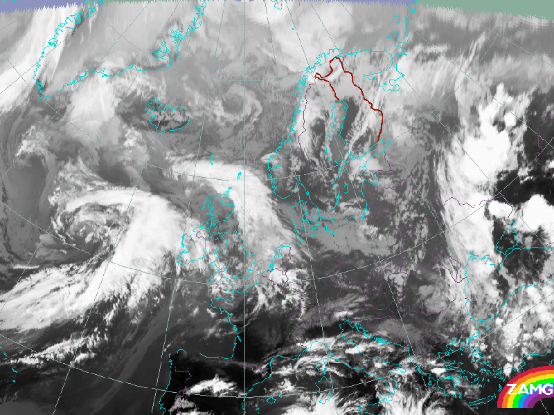
01 June 2005/18.00 UTC - Meteosat IR image
«
»
Why is this particular case of a Cold Front a Kata Front? Decide whether you agree or disagree with the following statements and answer accordingly.
This is a Kata Cold Front because ..
... a Dark Stripe in the Water Vapour image overruns the frontal cloud band.
Yes
No
... the IR signals are darker at the rearward part.
Yes
No
... there are convective cells with brighter tops embedded in the cloud band.
Yes
No
... the VIS signals are darker than IR signals at the rearward edge.
Yes
No
Back to Cloud Structure in Satellite Images