15.00 UTC
17.00 UTC
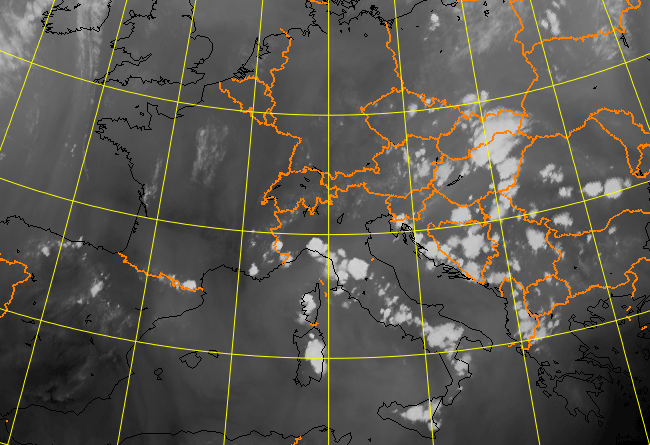
Meteosat 8 IR 10.8 µm
Meteosat 8 HIR 0.8 µm
Meteosat 8 WV 7.3 µm
Meteosat 8 VIS 0.8 µm
Meteosat 8 combination imageHRV 0.6 µm - HRV 0.8 µm - 10.8 µm