12 - 13 NOVEMBER 1997 - COMPARISON OF CLOUD CONFIGURATIONS BETWEEN 12.00 AND 18.00 UTC
by ZAMG
|
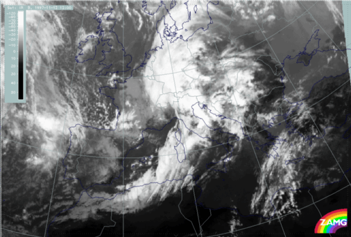
12 November 1997/12.00 UTC - Meteosat IR image
|
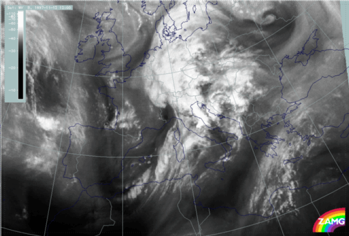
12 November 1997/12.00 UTC - Meteosat WV image
|
|
|
|
|
|
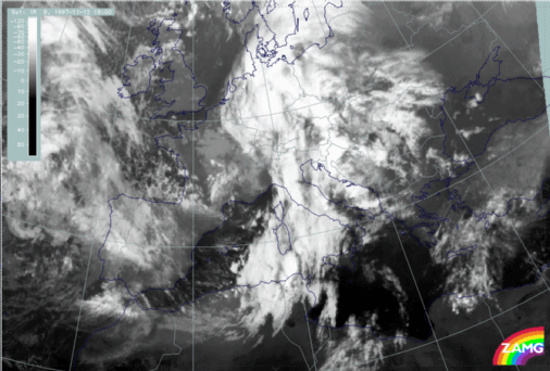
12 November 1997/18.00 UTC - Meteosat IR image
|
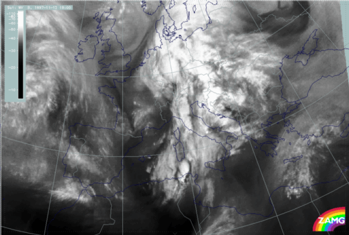
12 November 1997/18.00 UTC - Meteosat WV image
|
- The Wave structure over the west Alps has moved northward without any further development of the spiral structure;
- The area of the Front Intensification by Jet Crossing has further intensified with a wave-like bulge recognizable between the Algerian coast and Sardinia and some very notable Cb developments between the Tunisian coast and south Sardinia. The latter do not only show the typical shape of Cb cells but also a dry zone around them representing sinking air; all thunderstorm events and their synoptic environment are discussed in a separate chapter (compare Development of Thunderstorms and MCSs During the Whole Period);
- The cloudiness in front of the frontal system over the Balkan Peninsula is still discernible and even more intensive, especially over east Slovenia and Croatia which indicates convective developments there;
- High fibrous cloudiness in band form has developed over Libya and has reached the Mediterranean coast.


