In the case of a WV Eddy convective cloudiness can develop, especially near the leading edge of the wet air stream, close to the transition zone between the high and low WV pixel values. Cloudiness can result in a shower or in some cases in a thunderstorm.
Temperature
Wind (incl. gusts)
Other relevant information
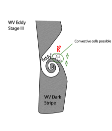
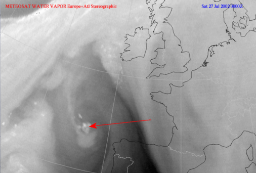
A WV Vortex is sometimes associated with high level clear air turbulenc (CAT).
In the case of a WV Eye even low level cloudiness (e.g. SC Sheets) can dissolve
In the case of a WV Eye the production of cloudiness can be inhibited, e.g. underneath a subsidence-inversion
WV Eddy
27 July 2002/00.00 UTC - Meteosat WV image
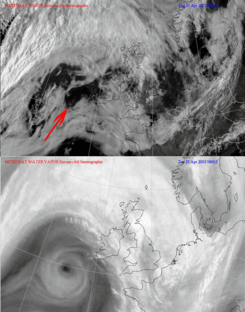
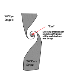
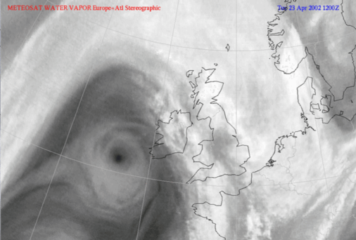
WV Eye
23 April 2002/12.00 UTC - Meteosat WV image
In the animation below the prevention of cloud production can be seen. (see clear spell in SC Sheets with arrow).